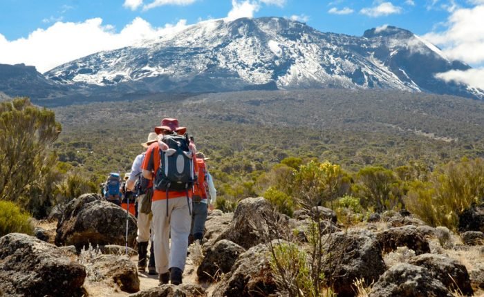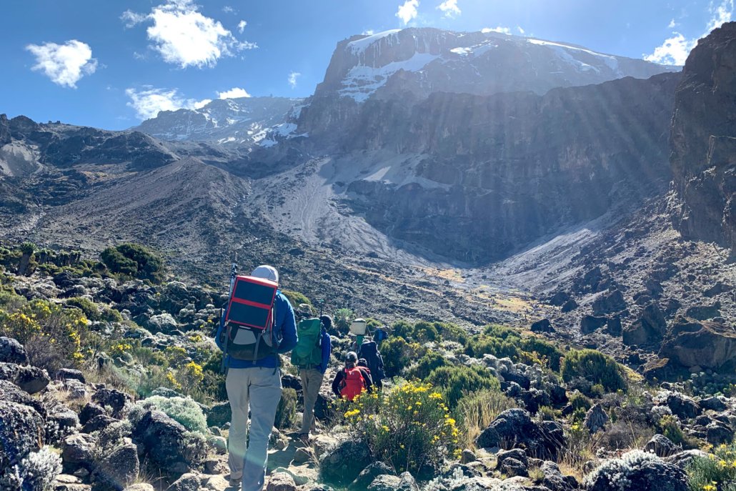
7-Day Rongai Route offers a quieter and more gradual way to reach Uhuru Peak, Africa’s highest point at 5,895 metres. Rongai begins on the northern side of Mount Kilimanjaro, near the Kenyan border, and is the only main route that approaches the mountain from this direction.
The route is known for its peaceful trail, broad views over the Kenyan plains and generally drier conditions compared with the wetter southern slopes. It starts in forest, rises through moorland and high-altitude volcanic landscapes, passes beneath Mawenzi Peak and eventually reaches Kibo Hut for the final summit ascent.
This seven-day version includes an extra stage on the northern side of the mountain. The slower progression from Simba Camp to Second Cave, Kikelewa Camp and Mawenzi Tarn Camp gives climbers more time to adjust to increasing altitude before the summit approach. It is a better choice than a faster six-day Rongai itinerary for travellers who want a more measured trekking pace.
EKO Tanzania Adventures provides professional mountain guides, assistant guides, cooks and porters for the climb. We organise Kilimanjaro National Park fees, camping equipment, mountain meals, daily safety checks and transfers. Our priority is a properly managed climb with realistic guidance, steady trekking and strong support from the mountain crew.
Rongai Route Highlights
- Climb Mount Kilimanjaro from its quieter northern side
- Reach Uhuru Peak at 5,895 metres
- Follow a less crowded trail with open views towards Kenya
- Trek through forest, moorland, alpine desert and summit terrain
- Camp below the striking Mawenzi Peak at Mawenzi Tarn
- Enjoy a more gradual seven-day altitude profile
- Descend via Horombo Hut and Marangu Gate
- Travel with experienced local guides, cooks and porters
- Private Kilimanjaro climbs for individuals, couples, families and groups
Trek at a Glance
Duration: 7 days / 6 nights on the mountain
Route: Rongai Route
Summit: Uhuru Peak, 5,895 metres
Start: Nale Moru Gate
Finish: Marangu Gate
Accommodation: Mountain tents on ascent; Horombo Hut on descent
Difficulty: Challenging
Best for: Fit climbers who want a quieter route and more time for acclimatisation
About the Rongai Route
Rongai Route begins on Kilimanjaro’s northern side, which is generally drier than the southern side of the mountain. This can make it a good route for climbers travelling during periods when rain affects the southern approaches, although weather on Kilimanjaro always remains changeable.
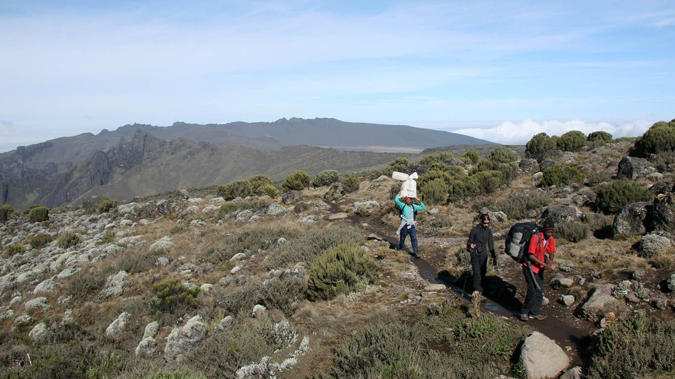
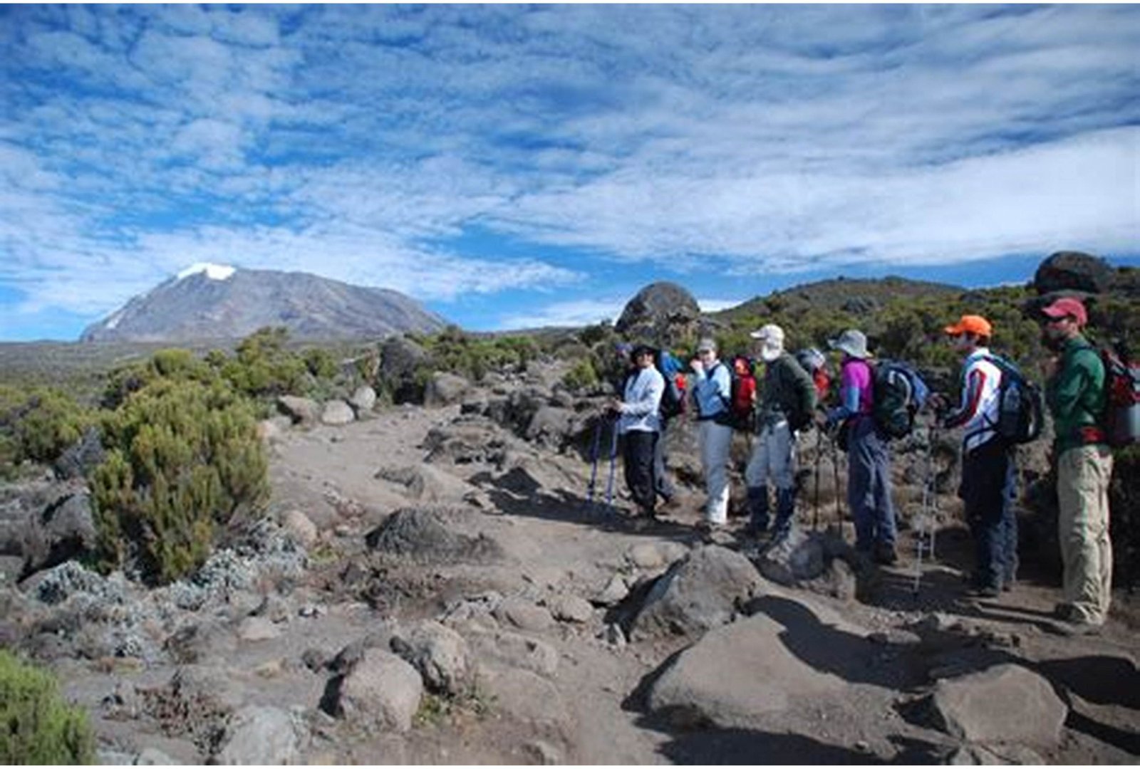
The early trail is quieter than routes such as Machame and Marangu. You will walk through forest, then rise gradually through moorland with wide views over the northern plains. The route passes Kikelewa Camp and Mawenzi Tarn, a beautiful high-altitude campsite beneath the rugged spires of Mawenzi Peak.
Rongai is not a technical mountaineering route. You do not need ropes, ice axes or climbing experience. However, you should be physically prepared for long hiking days, uneven terrain, cold temperatures and high altitude. The main challenge is altitude, not technical climbing ability.
The seven-day itinerary helps by spreading the ascent over more stages. Your guides will still monitor your oxygen level, pulse and general condition daily. Always tell your guide if you have a headache, nausea, dizziness, extreme tiredness or any other symptoms.
Detailed 7-Day Rongai Route Itinerary
Day 1: Nale Moru Gate to Simba Camp
Your Kilimanjaro climb begins with pickup from your hotel in Moshi or Arusha. You will travel around the mountain to the Rongai Gate area, close to the Kenyan border.
At Nale Moru Gate, your EKO Tanzania Adventures guide will assist with Kilimanjaro National Park registration. You will meet the mountain crew, check your equipment and prepare your daypack. The porters carry the main bags and shared equipment, while you carry water, rain gear, snacks, warm layers and personal items.
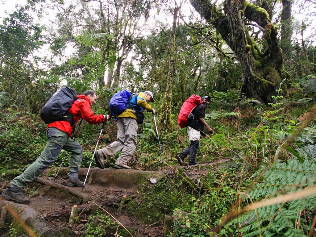
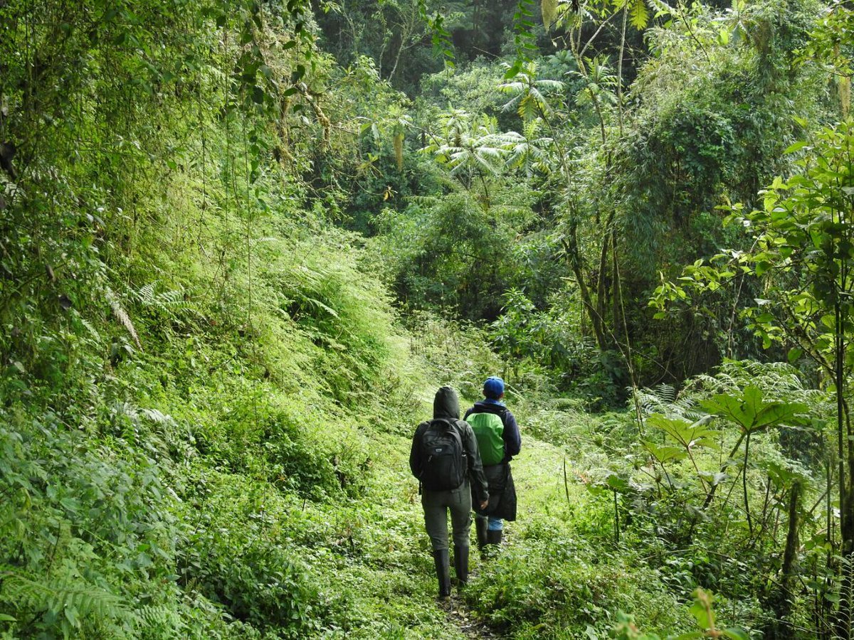
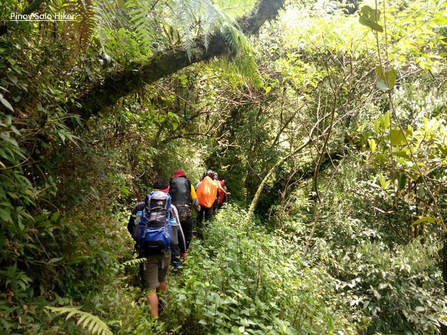
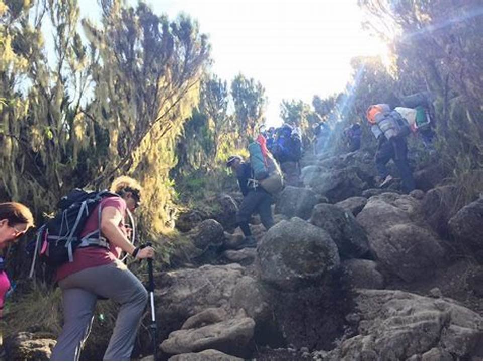
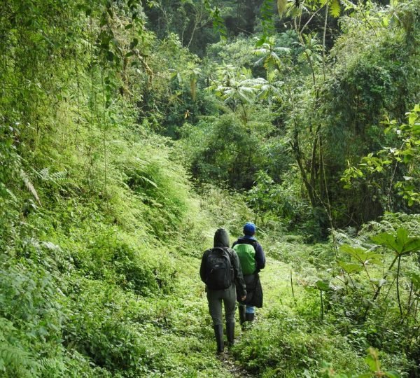
The first day’s walk follows a gentle trail through forest. This area is quieter than the busy southern routes, with tall trees, ferns and occasional wildlife signs. You may hear forest birds or see monkeys, although wildlife sightings cannot be promised.
As the trail rises, the forest becomes thinner and views open towards the Kenyan plains. Arrive at Simba Camp, located at approximately 2,625 metres. Your tent will be ready and a hot meal will be prepared by the mountain crew.
Elevation: 1,950m to 2,625m
Distance: Approximately 8 km
Walking time: 3–4 hours
Habitat: Montane forest
Meals included: Lunch and dinner
Overnight: Simba Camp
Day 2: Simba Camp to Second Cave Camp
After breakfast, leave Simba Camp and continue through open moorland. The route is gradual and gives your body more time to adjust to increasing altitude.
The landscape becomes wider and drier, with lower vegetation, grasses and volcanic rock. On clear days, you may enjoy broad views over the northern side of Kilimanjaro and towards Kenya.
You will walk at a slow, steady pace. The Swahili phrase pole pole means slowly, and it is one of the most important principles for a successful Kilimanjaro climb. There is no benefit in rushing at altitude.
Arrive at Second Cave Camp, located at approximately 3,450 metres. This is a peaceful camp with open mountain views. After lunch, rest, drink water and allow your body to acclimatise.
Dinner and overnight at Second Cave Camp.
Elevation: 2,625m to 3,450m
Distance: Approximately 6 km
Walking time: 3–4 hours
Habitat: Moorland
Meals included: Breakfast, lunch and dinner
Overnight: Second Cave Camp
Day 3: Second Cave Camp to Kikelewa Camp
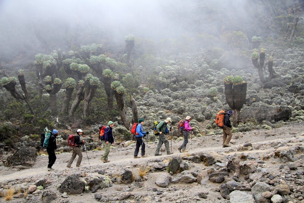
After breakfast, continue towards Kikelewa Camp. The trail rises gradually through moorland, crossing open slopes with views of Mawenzi Peak becoming clearer ahead.
Mawenzi is Kilimanjaro’s second-highest volcanic cone. Its jagged ridges and steep rock faces create a striking contrast to the broad dome of Kibo, where Uhuru Peak is located.
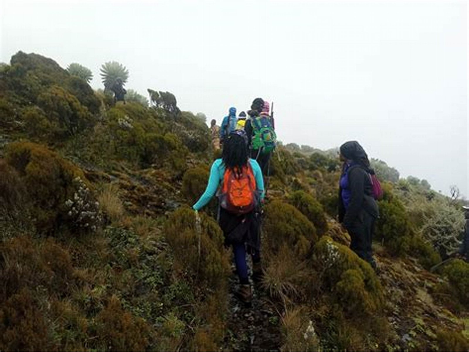
The route continues through an area with giant groundsels and other high-altitude plants. The walking distance is moderate, allowing the group to maintain a comfortable pace while gaining elevation responsibly.
Arrive at Kikelewa Camp at approximately 3,630 metres. The campsite is set in a quiet area with wide views across the mountain. After lunch, rest and prepare for the climb to Mawenzi Tarn the following day.
Elevation: 3,450m to 3,630m
Distance: Approximately 6 km
Walking time: 3–4 hours
Habitat: Moorland
Meals included: Breakfast, lunch and dinner
Overnight: Kikelewa Camp
Day 4: Kikelewa Camp to Mawenzi Tarn Camp
After breakfast, begin the trek towards Mawenzi Tarn Camp. The route is shorter than some other days but becomes steeper as it climbs towards the base of Mawenzi Peak.
As you gain altitude, the terrain becomes more open and dramatic. Mawenzi Tarn Camp is located at approximately 4,330 metres beside a small mountain tarn, or lake, beneath the impressive rocky slopes of Mawenzi.
This is one of the most scenic camps on the Rongai Route. After arriving, you will have lunch and rest. If you are feeling well, your guide may arrange a short acclimatisation walk higher up the slope before returning to camp. This helps your body adjust while allowing you to sleep lower.
The evening can be cold at this altitude. Eat well, keep hydrated and rest properly. Your guides will check your health and discuss the next day’s climb towards Kibo Hut.
Elevation: 3,630m to 4,330m
Distance: Approximately 5 km
Walking time: 3–4 hours
Habitat: High moorland
Meals included: Breakfast, lunch and dinner
Overnight: Mawenzi Tarn Camp
Day 5: Mawenzi Tarn Camp to Kibo Hut
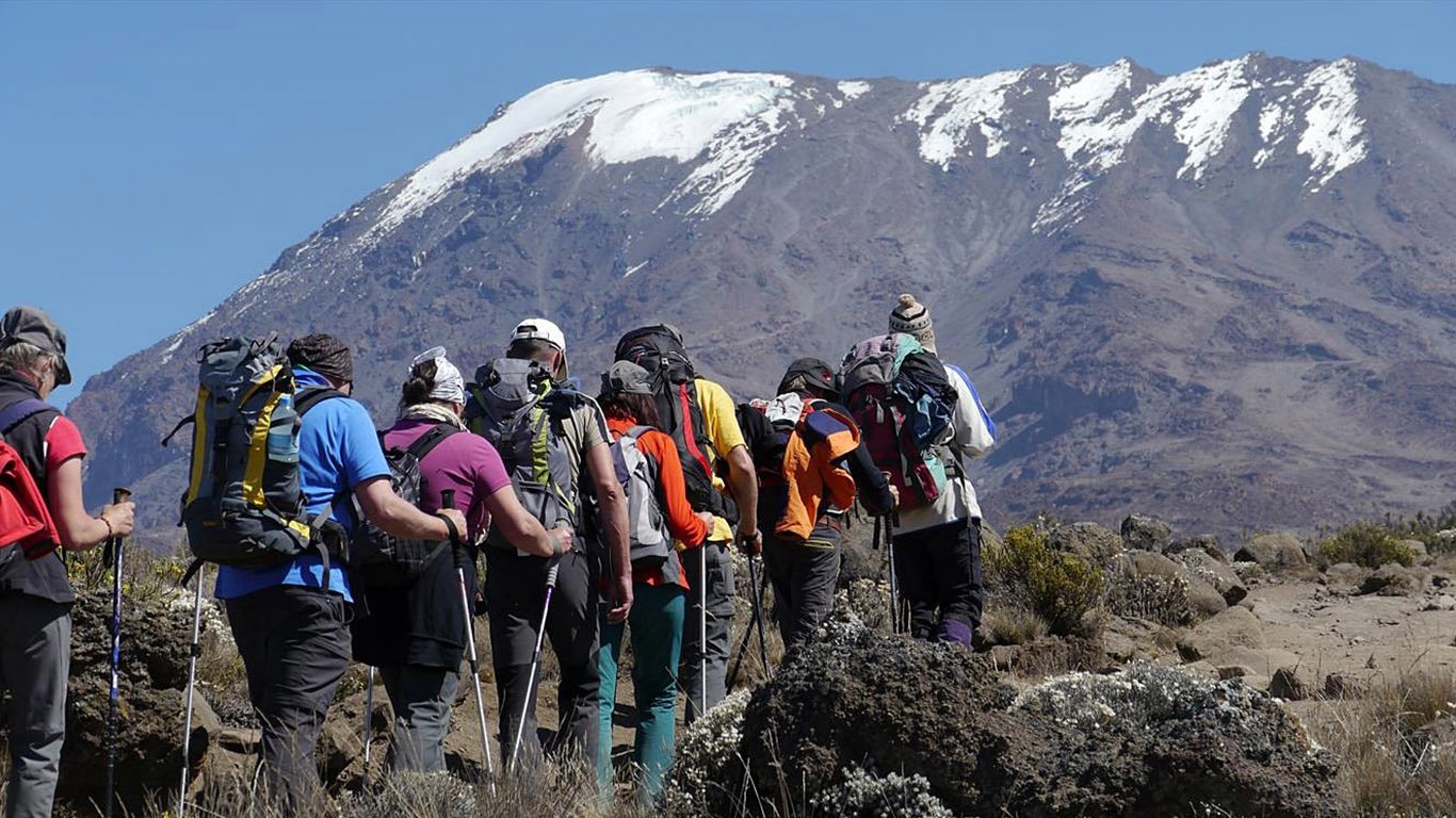
After breakfast, leave Mawenzi Tarn and cross the wide saddle between Mawenzi Peak and Kibo Peak. The landscape becomes drier, rockier and more exposed as you enter the alpine desert zone.
The route is not extremely steep for much of the day, but the altitude makes it demanding. Walk slowly, take regular drinks and eat small snacks. The air is thinner, and every step requires patience.
Kibo Hut is located at approximately 4,700 metres. It is the final camp before the summit attempt. Arrive in the afternoon, have lunch and rest as much as possible.
Your guide will help you prepare for summit night. Set out your thermal layers, warm jacket, gloves, hat, headlamp, spare batteries, water and snacks. Dinner is served early because you begin the ascent around midnight.
Elevation: 4,330m to 4,700m
Distance: Approximately 8 km
Walking time: 5–6 hours
Habitat: Alpine desert
Meals included: Breakfast, lunch and dinner
Overnight: Kibo Hut
Day 6: Kibo Hut to Uhuru Peak to Horombo Hut
Summit day is the longest and most challenging day of the climb.
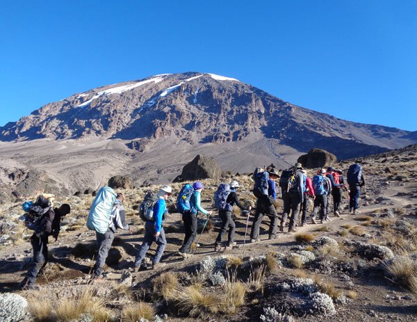
Around midnight, you will wake for a light snack and begin the steep ascent towards the summit. The trail rises over loose volcanic scree in darkness. Temperatures can be well below freezing, and wind can make the conditions feel even colder.
Your guides will set a very slow pace. The goal is to manage your energy and altitude safely. Take small steps, breathe steadily and speak to your guide immediately if you feel unwell.
After several hours, reach Gillman’s Point at approximately 5,685 metres on the crater rim. From there, continue along the rim to Uhuru Peak at 5,895 metres.
Reaching Uhuru Peak is a major personal achievement. Take photographs at the summit sign, enjoy the moment and begin your descent soon afterwards. The temperature and altitude are extreme, so time at the summit is kept short.
Descend to Kibo Hut for a short rest and lunch, then continue down to Horombo Hut at approximately 3,720 metres. The descent is long, but the thicker air at lower altitude often makes breathing easier.
Dinner and overnight at Horombo Hut.
Elevation: 4,700m to 5,895m to 3,720m
Distance: Approximately 21 km
Walking time: 11–14 hours
Habitat: Arctic summit zone to moorland
Meals included: Breakfast, lunch and dinner
Overnight: Horombo Hut
Day 7: Horombo Hut to Marangu Gate
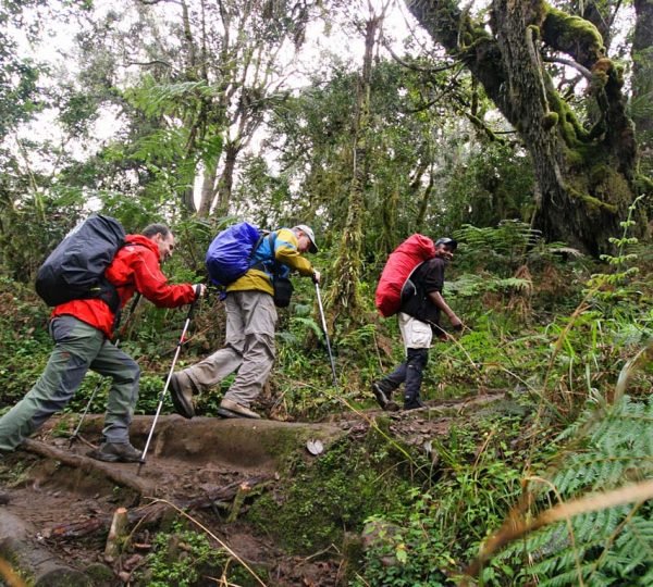
After breakfast, begin your final descent through moorland and rainforest towards Marangu Gate. The path is well established, but it can be muddy after rain. Trekking poles are useful for the downhill sections.
As you descend, temperatures rise and forest vegetation returns. At Marangu Gate, you will sign out with Kilimanjaro National Park. Climbers who reach Uhuru Peak receive an official summit certificate.
Meet your driver and return to your hotel in Moshi or Arusha for a hot shower, rest and celebration.
Elevation: 3,720m to 1,860m
Distance: Approximately 20 km
Walking time: 5–7 hours
Habitat: Moorland and rainforest
Meals included: Breakfast and lunch
Best Time to Climb the Rongai Route
Rongai Route can be climbed throughout the year. Its northern location is generally drier than Kilimanjaro’s southern slopes, though rain and cold conditions are still possible at any time.
The most popular climbing periods are:
- January to early March: Cooler conditions and often fewer climbers
- June to October: Generally dry, clear and popular across Kilimanjaro
- December to early January: Popular holiday climbing period
The main rainy season is usually from April to May, while shorter rains often occur in November. Good waterproof clothing remains important in every season.
What Is Included
- Kilimanjaro National Park fees
- Professional mountain guides and assistant guides
- Porters and mountain cook
- Quality mountain tents and sleeping mats during the ascent
- Hut accommodation at Horombo Hut on descent
- All meals during the climb
- Drinking water and hot drinks on the mountain
- Safety equipment, first-aid kit and emergency oxygen
- Daily health monitoring
- Transfers from Moshi or Arusha to Rongai Gate and return from Marangu Gate
- Government taxes and VAT where applicable
What Is Not Included
- International flights
- Tanzania visa
- Travel insurance with high-altitude evacuation cover
- Hotel accommodation before and after the climb
- Sleeping bag and personal trekking equipment
- Tips for mountain guides, porters and cook
- Drinks outside the included trekking meal plan
- Personal expenses
Preparing for the Rongai Route
Prepare before your climb with regular hiking, long walks, stair climbing and cardiovascular training. Practise walking over uneven terrain while carrying a light backpack. This will help you enjoy the longer days and summit descent.
Bring hiking boots that are already broken in, waterproof layers, thermal base layers, a warm insulated jacket, gloves, hat, headlamp and trekking poles. Avoid bringing new, untested footwear for the climb.
Fitness is important, but it does not eliminate altitude risk. Your guide’s safety decision is final. Reaching the summit matters, but descending safely always comes first.
Book Your 7-Day Rongai Route Kilimanjaro Climb
EKO Tanzania Adventures can organise a private Rongai Route climb for solo travellers, couples, families and groups. We can also arrange airport transfers, Moshi or Arusha accommodation, Tanzania safari extensions and Zanzibar beach holidays after the trek.
Contact us for availability, a personalised quotation and a full Kilimanjaro packing list.
WhatsApp: Chat with EKO Tanzania Adventures
Email: info@ekotanzaniaadventures.com
Alternative email: ekotanzaniaadventure@gmail.com